LS25 / St Malo to Cherbourg Day 3
103km Carteret to Cherbourg

Day 3 runs up to the most Northerly point above Cherbourg, and back into the port along the scenic coast road.
Following the Garmin route will take you up the lighthouse in Carteret, if you don't fancy a steep climb to start the day then take the other road out of town, signposted to Hatainville.
The route steers away from the bigger roads and follows the coast through the villages. Heaven on two wheels. The roads are (by and large) smooth, the villages impossibly scenic, the hills gentle yet satisfying. This is how you imagine a holiday in Devon or Cornwall should be, quiet roads and golden deserted beaches. If your aim is pleasure over km covered take your time over this section.
Out at the Le Nez de Jobourg, seasonally dependent, is a restaurant overlooking the sea. Good steak, good seafood, good wine and so on, a luxury lunch stop!
The point furthest north is, unsurprisingly, a dead end road. Well worth the 2 km diversion - a severe lighthouse, a tired German bunker and a naval radar point.
Rejoining the route, the coast road runs over 30 beautiful km into Cherbourg. As you get to the edge of town join the cycle path on the lefthand side of the road - this will take you almost all the way back to the ferry!
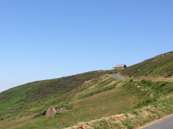
Hills.
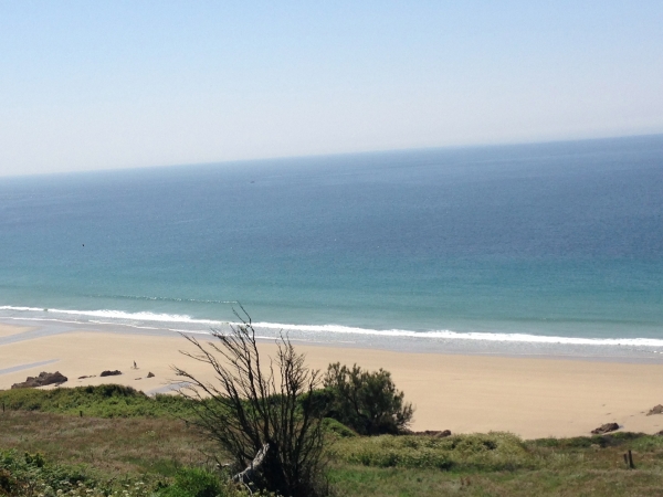
Beaches.